Frenchman Bay, Maine
Who are the Frenchman Bay Partners?
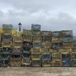
Founded in 2010, the Frenchman Bay Partners is a consortium of stakeholders interested in working together toward a sustainable future for Frenchman Bay. Partners consist of individuals and organizations representing marine industries, research organizations, tourism companies, education institutions, conservation groups, land trusts, and municipalities. Anyone can be a partner! In 2012, the Partners developed the Frenchman Bay Plan to identify the species and habitats of greatest concern in the bay, and this plan guides the actions of the Partners.
How do we work?
We provide a forum in which local stakeholders can come together to address issues in a way that does not require top down intervention or legislative action. The role of the Partners is three-fold:
- Gathering and sharing information.
- Taking action and initiating projects that ensure a healthy future for the bay.
- Facilitating conversations among bay users and stakeholders.
What do we do?
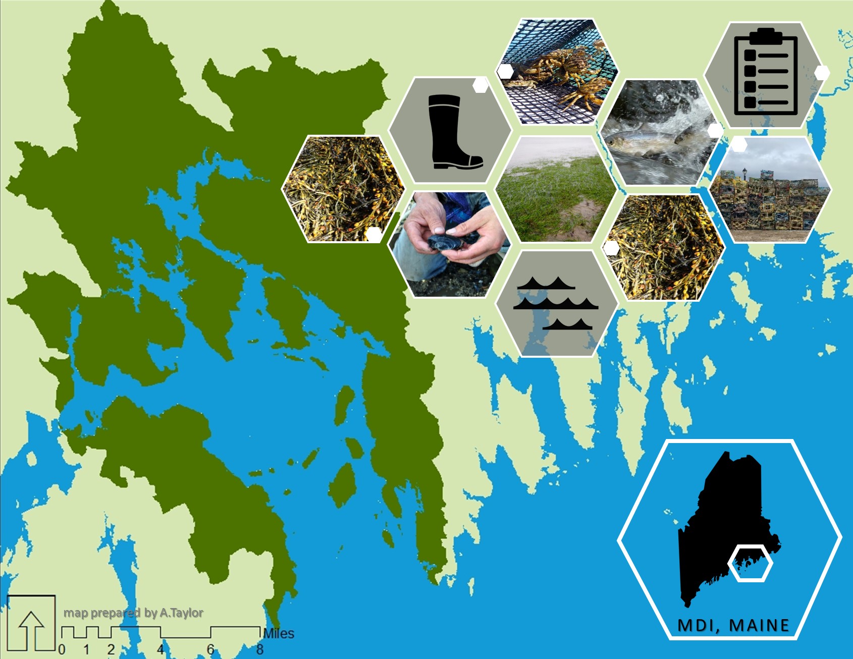
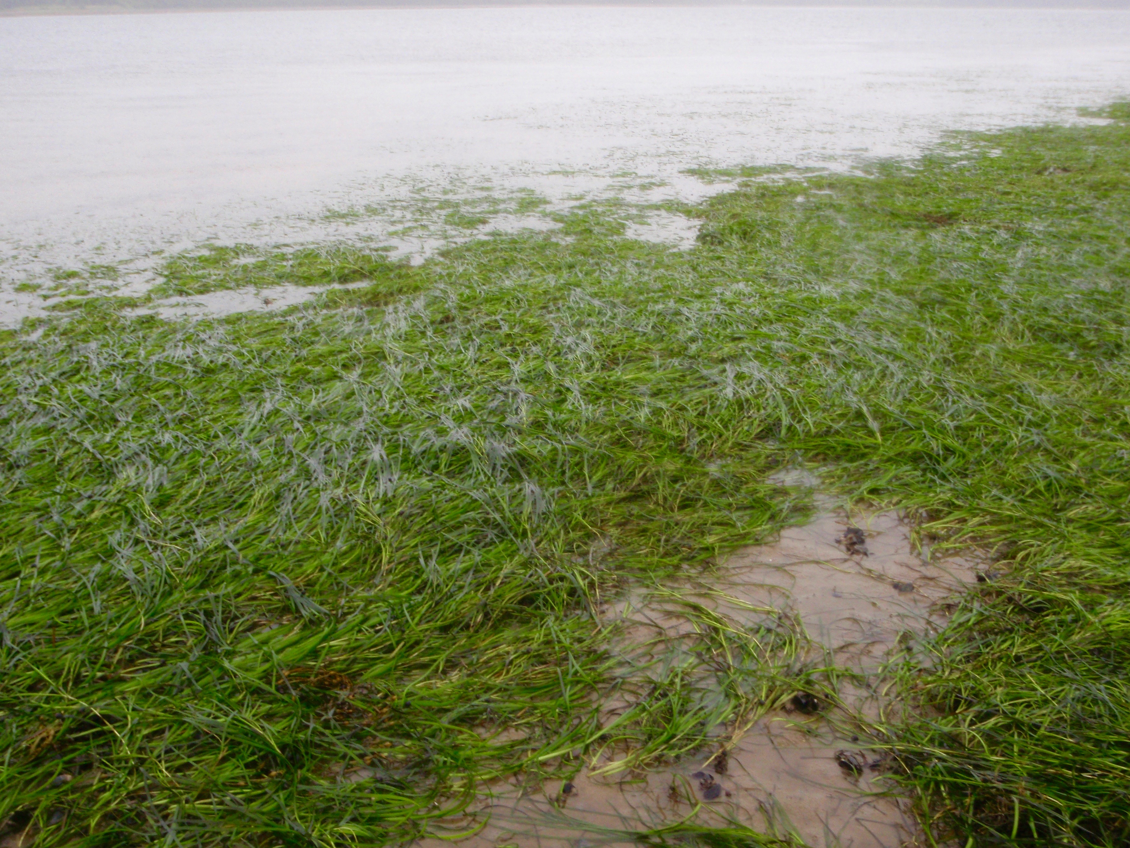
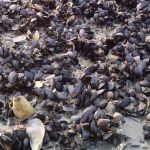
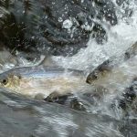
Five conservation targets make up the Frenchman Bay Plan: eelgrass, mudflats, benthic habitats, diadromous fishes, and rockweed. Each conservation target is supported by a committee that establishes goals and strategies around their target. Committees are made up of 3-8 people who work on projects such as restoring eelgrass, opening mudflats, monitoring alewife runs, and mapping rockweed.

Where is Frenchman Bay?
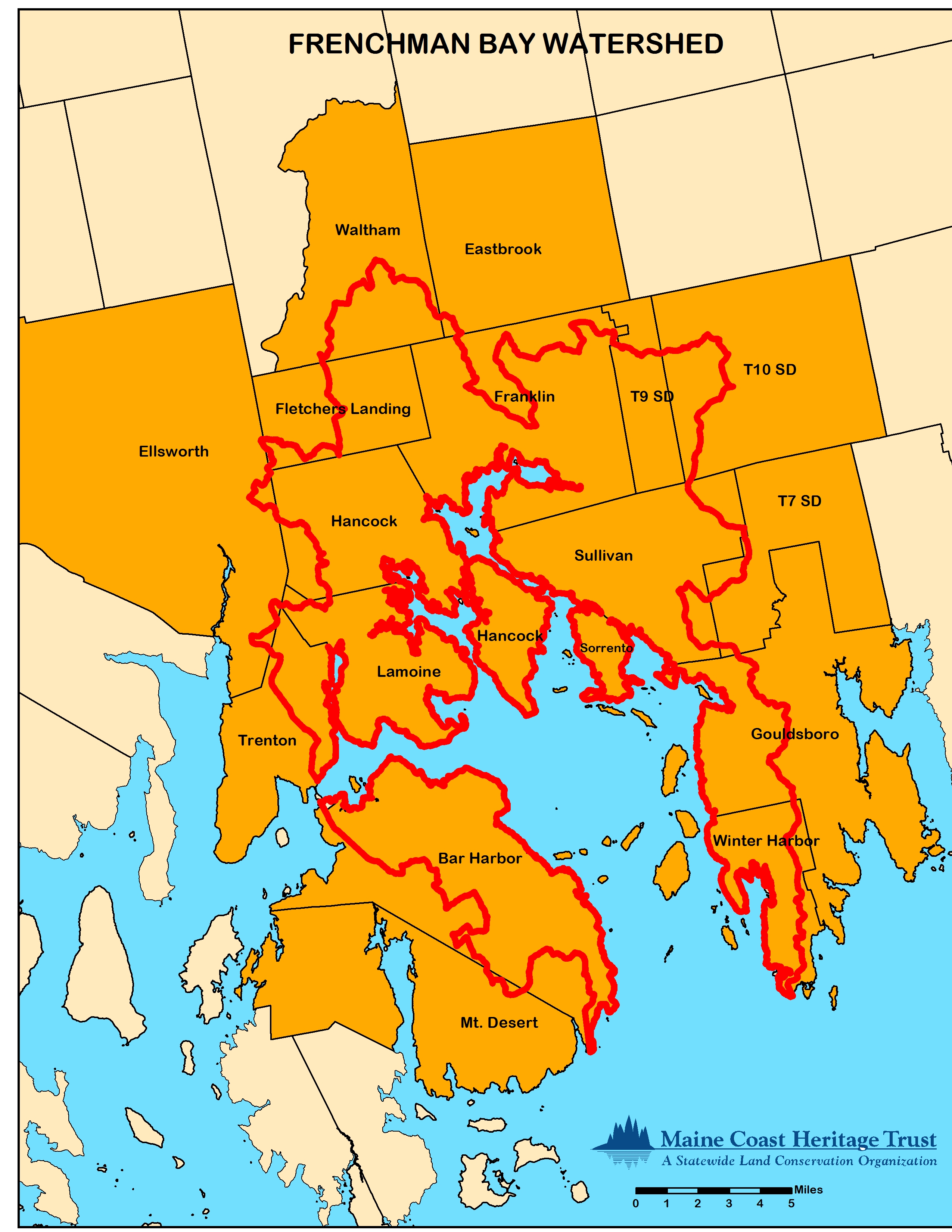
Frenchman Bay is located in Hancock County, Maine and is roughly 15 miles long and 7 miles at its widest. The bay is surrounded to the east by the Schoodic Peninsula and to the west by Mt. Desert Island, home of Bar Harbor and Acadia National Park. The Frenchman Bay watershed encompasses 13 towns, three unorganized territories, and three rivers (see map below).